


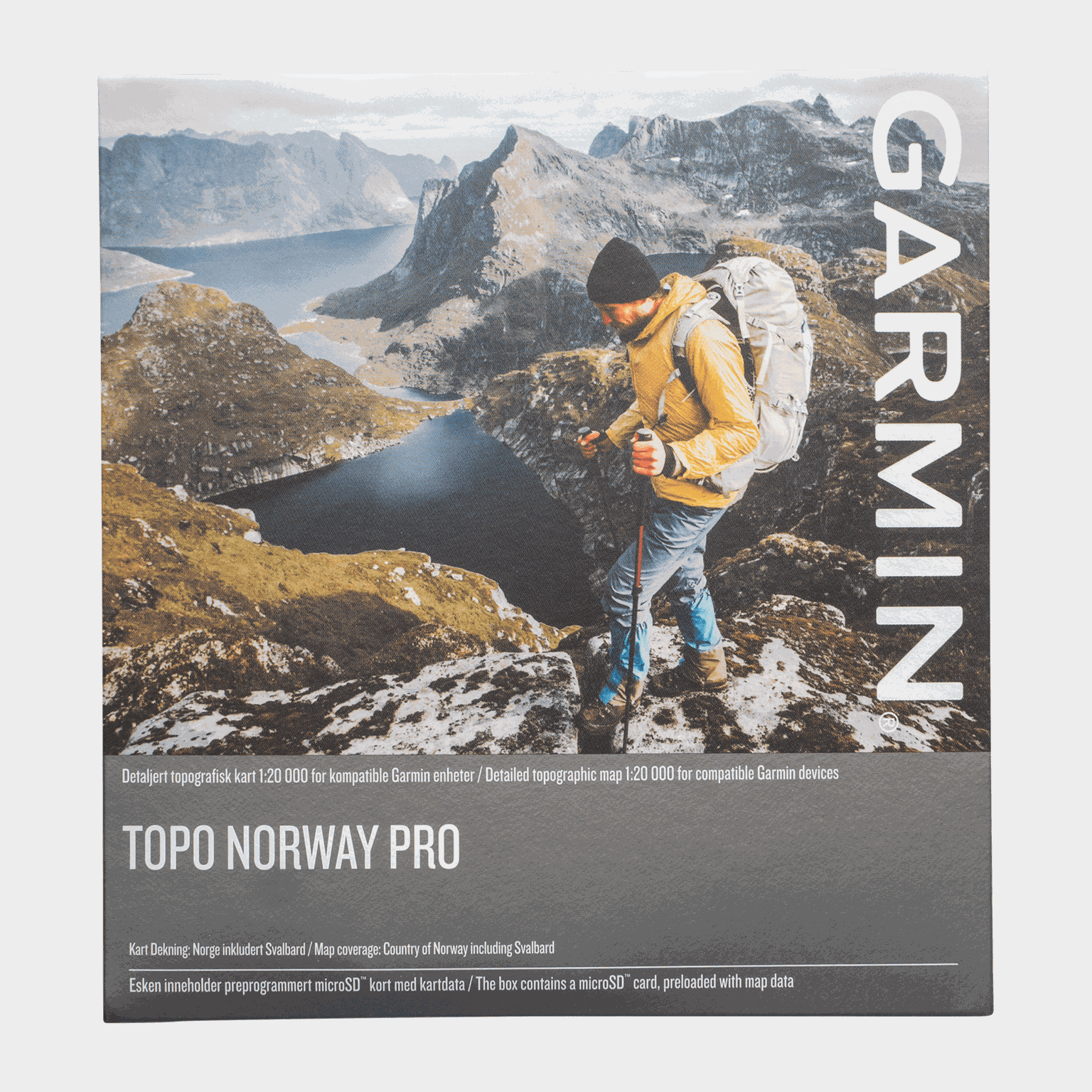

topographic map covering all of Norway at scales of 1:20,000 and 1:50,000. It shows national borders, accommodations, and other points of interest. Plan your next great outdoor adventure in Norway. This product offers all the necessary features for outdoor activities such as hiking, cycling, mountain biking and hunting.
Details:
- Includes the latest topographic maps from the Norwegian Mapping Authority at scales of 1:20,000 and 1:50,000, covering all of Norway.
- Recommends detailed and personalized routes on roads and trails based on your hiking and cycling profiles.
- Offers Trendline™ route planning for compatible GPS devices, which uses millions of kilometers of Garmin Connect™ data to show the best routes on trails and paved roads.
- Searchable database with millions of points of interest, such as fishing spots, ski resorts, campsites, cabins and more, offering a wide selection of points of interest. Browse hundreds of route plans from the Norwegian Tourist Board.
- Includes cadastral and land use data to find hunting locations.
- Displays elevation profiles for most of Norway (20 meter intervals in other parts of the country) and a digital terrain model (DTM) for 3D views and elevation changes. Route profiles can be viewed on compatible Garmin GPS devices using the free BaseCamp™ route planning software.
- Compatible with the free BaseCamp software, which allows you to plan routes on your computer and transfer routes and waypoints to compatible devices.
Details:
- Includes the latest topographic maps from the Norwegian Mapping Authority at scales of 1:20,000 and 1:50,000, covering all of Norway.
- Recommends detailed and personalized routes on roads and trails based on your hiking and cycling profiles.
- Offers Trendline™ route planning for compatible GPS devices, which uses millions of kilometers of Garmin Connect™ data to show the best routes on trails and paved roads.
- Searchable database with millions of points of interest, such as fishing spots, ski resorts, campsites, cabins and more, offering a wide selection of points of interest. Browse hundreds of route plans from the Norwegian Tourist Board.
- Includes cadastral and land use data to find hunting locations.
- Displays elevation profiles for most of Norway (20 meter intervals in other parts of the country) and a digital terrain model (DTM) for 3D views and elevation changes. Route profiles can be viewed on compatible Garmin GPS devices using the free BaseCamp™ route planning software.
- Compatible with the free BaseCamp software, which allows you to plan routes on your computer and transfer routes and waypoints to compatible devices.
Comment